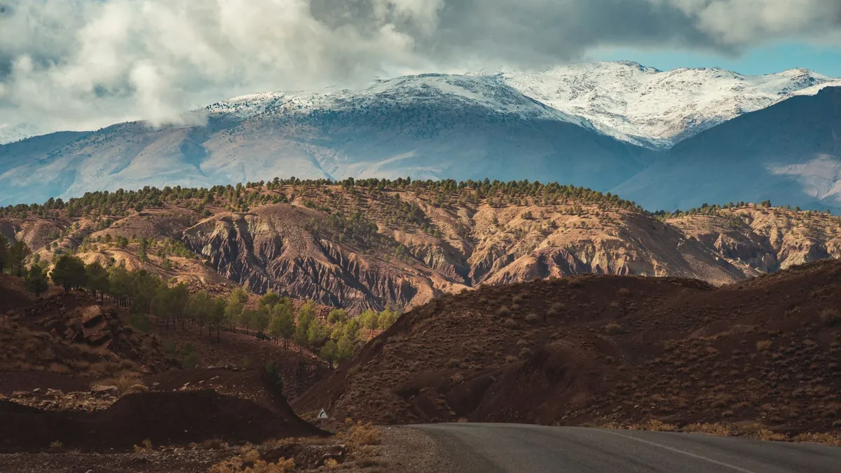
Morocco is made for a road trip: good roads on the main routes, landscapes that change every couple of hours, and the freedom to stop wherever you like. The trap is distance: on the map everything looks close; behind the wheel, mountain roads take time. Here are three itineraries from Marrakech, with distances calculated leg by leg.
7 days: Marrakech, the kasbahs and the desert
| Day | Leg | Distance | Driving |
|---|---|---|---|
| Day 1 | Marrakech → Aït Benhaddou → Ouarzazate | 204 km | 4 h 12 |
| Day 2 | Ouarzazate → Boumalne Dadès | 112 km | 2 h 00 |
| Day 3 | Boumalne Dadès → Tinghir → Merzouga | 247 km | 4 h 30 |
| Day 4 | A day in the Merzouga dunes | — | — |
| Day 5 | Merzouga → Ouarzazate | 362 km | 6 h 30 |
| Day 6 | Ouarzazate → Marrakech | 195 km | 3 h 48 |
| Day 7 | Marrakech, end of trip | — | — |
The classic loop: the Tizi n'Tichka pass, the Ait Benhaddou kasbah, the Dades valley, the Todra gorges, then the Erg Chebbi dunes. The drive back from Merzouga to Ouarzazate is the longest day (362 km). In total, 1120 km.
10 days: Marrakech to Fes through the desert
| Day | Leg | Distance | Driving |
|---|---|---|---|
| Day 1 | Marrakech → Aït Benhaddou → Ouarzazate | 204 km | 4 h 12 |
| Day 2 | Ouarzazate → Boumalne Dadès | 112 km | 2 h 00 |
| Day 3 | Boumalne Dadès → Tinghir | 52 km | 1 h 00 |
| Day 4 | Tinghir → Merzouga | 195 km | 3 h 30 |
| Day 5 | A day in the Merzouga dunes | — | — |
| Day 6 | Merzouga → Midelt | 264 km | 4 h 36 |
| Day 7 | Midelt → Ifrane → Fes | 200 km | 3 h 42 |
| Day 8 | Exploring the Fes medina | — | — |
| Day 9 | Fes → Chefchaouen | 195 km | 3 h 54 |
| Day 10 | Chefchaouen | — | — |
This route crosses the country from south to north: desert, the Middle Atlas and its cedar forest around Ifrane, the Fes medina, then the blue town of Chefchaouen. It ends in Chefchaouen, far from Marrakech: book a rental with a drop-off in another city, then head back by train or plane. In total, 1222 km.
15 days: the grand tour
| Day | Leg | Distance | Driving |
|---|---|---|---|
| Day 1 | Marrakech → Aït Benhaddou → Ouarzazate | 204 km | 4 h 12 |
| Day 2 | Ouarzazate → Boumalne Dadès | 112 km | 2 h 00 |
| Day 3 | Boumalne Dadès → Tinghir | 52 km | 1 h 00 |
| Day 4 | Tinghir → Merzouga | 195 km | 3 h 30 |
| Day 5 | A day in the Merzouga dunes | — | — |
| Day 6 | Merzouga → Midelt | 264 km | 4 h 36 |
| Day 7 | Midelt → Ifrane → Fes | 200 km | 3 h 42 |
| Day 8 | Exploring the Fes medina | — | — |
| Day 9 | Fes → Chefchaouen | 195 km | 3 h 54 |
| Day 10 | Chefchaouen | — | — |
| Day 11 | Chefchaouen → Rabat | 246 km | 4 h 18 |
| Day 12 | Rabat → Casablanca → Marrakech | 329 km | 3 h 54 |
| Day 13 | Marrakech → Essaouira | 185 km | 2 h 42 |
| Day 14 | Essaouira | — | — |
| Day 15 | Essaouira, then back to Marrakech | — | — |
The grand tour adds Rabat, Casablanca and Essaouira to the 10-day route, with more days out of the car. Count 1982 km, plus the drive back from Essaouira to Marrakech (185 km).
Where the signal drops
On these roads, mobile signal is good in towns and along most main routes, but it weakens or disappears in places: on the Tizi n'Tichka pass, at the bottom of the Dades and Todra gorges, on some stretches between Tinghir and Merzouga, and deep in the dunes. Three precautions avoid any trouble:
- Download offline maps for the whole route before you leave; see Google Maps offline in Morocco.
- Bring a car charger and a phone mount: constant navigation drains the battery.
- Write down each night's address and phone number outside your phone, for arriving at the end of the day.
Internet on the road
On a road trip, the phone navigates all day. Our plans give 1 GB a day at full speed, then 512 Kbps, which is enough to keep the map running; hotspot is included so the passenger can use the same connection. The lengths match the three itineraries: 7 days at €24, 10 days at €32, 15 days at €45.
See the Morocco eSIM plans and check your phone's compatibility. For the rules of the road, read driving in Morocco as a tourist.